Augusta County Through the Years
Public domain maps and Animaps (used according to terms of purchase)
This Wikipedia link will take you to the Augusta County page, which explains how the size and shape of the county changed as it was broken up into smaller counties until reaching its current size in 1790. Here is a very helpful site for seeing how county boundaries changed over time.
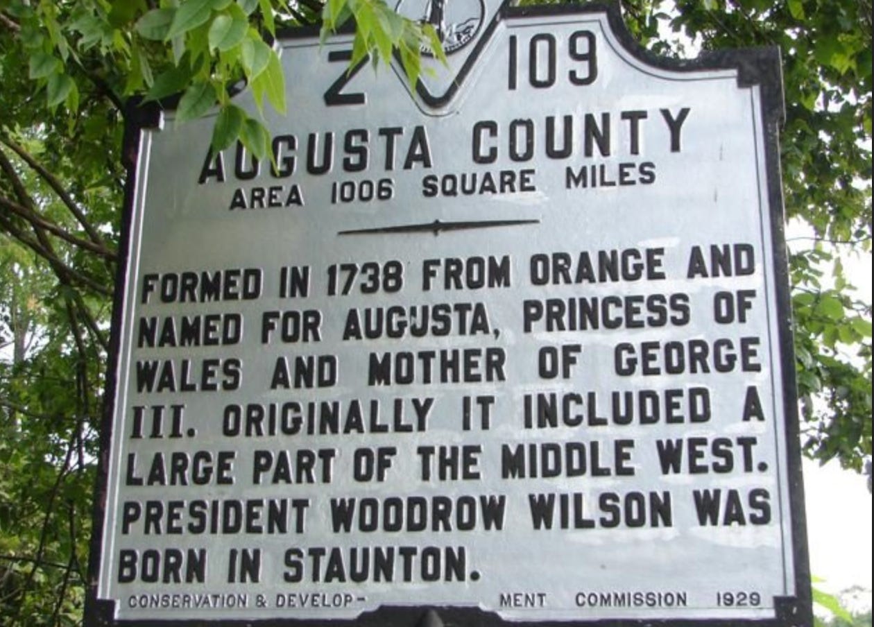
1738
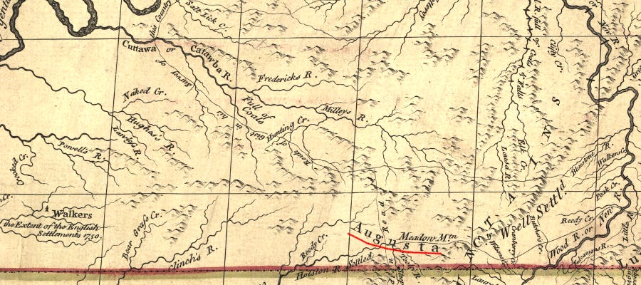
1740s (Part of land grant)
1740s (Meeting Houses and Roads)
Topographical
1755-1760
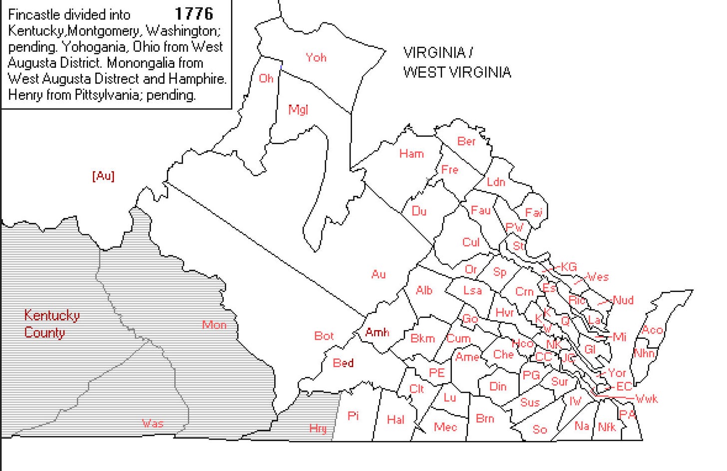
1776
1784
1790


