We’ve mentioned roads several times. At some point, I would like to summarize all this information and try to create maps showing the various routes. I find it difficult to locate all the places mentioned because I can’t find them all on the same map.
Anyway, I want to mention several things today.
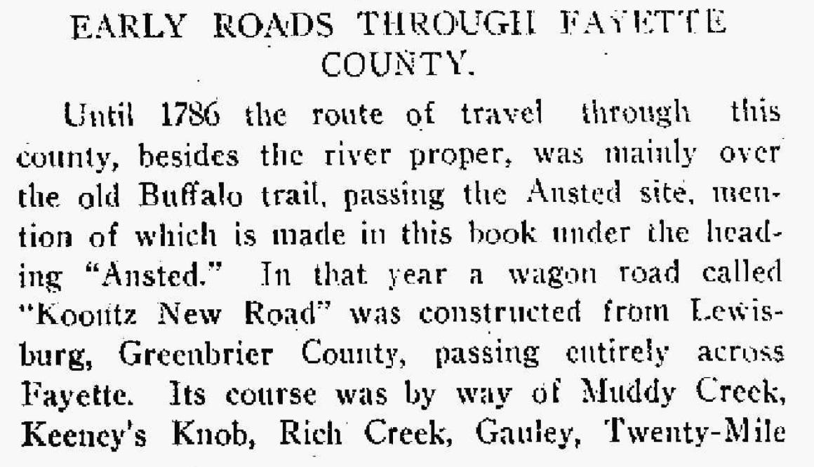
I. First is an excerpt from the Fayette Journal of November 2, 1911. 1
The Fayette Journal also published a 1911 Fayette County map. I find it very difficult to read, but I’ll post it anyway. You have probably seen this map before somewhere.
II. Subscriber Barbara Labry suggested this website link (Thank you, Barbara!), and it may be helpful to our Southern West Virginia research: PiedmontTrails. Some of the articles are about roads.
Augusta County, Virginia, Road Orders, 1745-1753 (We may have seen this discussed in one of my earlier postings.)
Carol, the creator of Piedmont Trails, also has a video site.
III. The Koontz New Road was mentioned in Part I above. I am particularly interested in this road because I am a Koontz descendant. I don’t know which Koontz was involved in this road or what that involvement was, but these are my notes connected to Jacob Koontz (1791-1861) in my family tree:
“It appears that the Koontz family arrived early in the area that is now Fayette County. Shirley Donnelly, in Historical Notes of West Virginia, mentions Koontz New Road, which passed through what is now Ansted. Donnelly reports: "Out of Lewisburg and in the direction of Charleston wound a wagon road as early as 1786. This was known as the Koontz New Road. This road passed through what is now Ansted. At Ansted the route wheeled northwest, went over the mountain and came out on the Gauley River at Jodie. Thence the road crossed the river and went up Twenty Mile Creek." Donnelly goes on to explain that this road went as far as Clendenin and was later replaced by the James River and Kanawha Turnpike. I wonder if the father (Heinrich) or grandfather (Johann Balthasar) of Jacob Koontz played a major role in building this road.”
Wouldn’t it be great to have some clear maps of some of these roads? Am I the only who finds the old maps hard to read?
Ancestry.com. Fayette Journal (Fayetteville, West Virginia) [database on-line]. Provo, UT, USA: Ancestry.com Operations Inc, 2008. Original data: Fayette Journal. Fayetteville, West Virginia, United States Of America. Database created from microfilm copies of the newspaper.


